🎬 AERIAL VIDEO · VALENCE (26) · €500–1,800 PER HALF-DAY
Drone aerial video in Valence
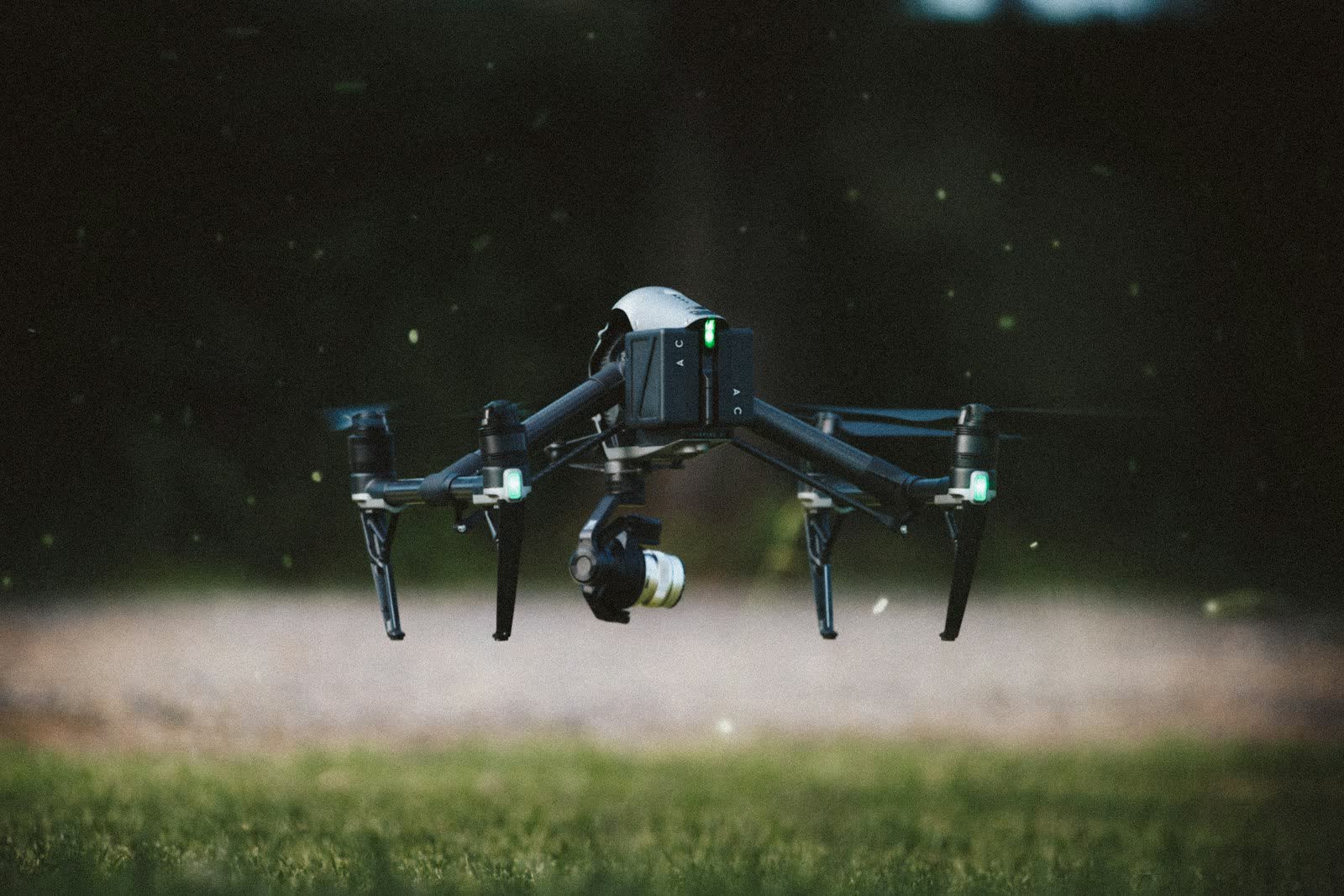
Drone aerial video gives your films a cinematic dimension: smooth tracking shots over a site, vertical reveal moves, orbits around a building, dynamic chase shots. Our aircraft shoot in 4K or even 5.1K in 10-bit (D-Log), with precisely controlled moves thanks to three-axis stabilisation and programmed flight modes. The footage cuts seamlessly into corporate, advertising or documentary productions.
A typical assignment includes scouting, a flight plan written around your storyboard, half a day or a full day of filming, then colour grading and delivery of the rushes or a broadcast-ready short edit. We regularly work alongside ground film crews and provide the insurance certificates and permits that productions require.
Free quote — aerial video in Valence
Rates
€500–1,800 per half-day — the range observed on the 2026 French market, including regulatory preparation, flight and delivery. The exact quote depends on the site, the deliverable and the airspace context in Valence.
Common use cases
- Corporate film and brand video with signature aerial shots
- TV or web commercial for a developer, builder or local authority
- Documentary, music video, fiction: drone shots supporting a film crew
- Event aftermovie: festival, trade show, opening ceremony
- Destination video for a tourist office
- Aerial archive footage of an area or a landmark construction project
The local context in Valence
Prefecture of the Drôme on the left bank of the Rhône, Valence marks the "gateway to the South": an old town around Saint-Apollinaire cathedral, the Peynet bandstand, the Jouvet park overlooking the river, and orchards and lavender fields at the city gates. Valence-Chabeuil aerodrome (LFLU), to the east, is the main aeronautical point of attention; the Rhône corridor also concentrates motorway, high-speed rail and river routes that trigger the rules on overflying transport infrastructure.
Valence's economy relies on food and gastronomy (the Vallée de la Gastronomie, Maison Pic), Rhône-corridor logistics and fruit and wine agriculture (Crozes-Hermitage nearby). Typical drone services: precision agriculture over orchards, infrastructure construction monitoring, tourism imagery along the ViaRhôna and residential real estate.
Applicable regulations
Aerial filming follows the same rules as photography: open category A1/A2/A3 for most flights in clear areas, height capped at 120 m, operator registered on AlphaTango and systematic checking of the Géoportail drone map. In built-up areas or near uninvolved people, shoots move to the specific category (European standard scenario STS-01, the French national scenarios S-1/S-3 having ended on 31 December 2025) with prior declaration to the préfecture for flights over populated areas. Productions also require dedicated aerial liability insurance and, for certain listed sites or military zones, specific agreements. Flying over gatherings of people remains prohibited without exceptional authorisation.
Frequently asked questions
Do you deliver raw rushes or an edited film?
Both options are available: delivery of gradable 4K Log rushes for your editor, or a turnkey 60–90 second edit with royalty-free music. The quote specifies the chosen option.
Can you film indoors (factory, warehouse, venue)?
Yes: indoor flights are outside the scope of aviation regulations. We use light, protected drones (cages or ducted propellers) to fly safely inside buildings.
How long does it take to obtain filming permits?
In open areas, no lead time: the flight can happen within days. In built-up areas, allow at least 10 working days for the prefectural declaration, and up to 4 weeks for sensitive sites.
Can this service be flown anywhere in Valence?
Almost: Aérodrome de Valence-Chabeuil (LFLU); Couloir d'infrastructures du sillon rhodanien (A7, LGV, Rhône). Depending on the exact location, the pilot picks the right framework (open or specific category) and files the required declarations — included in the quote.
Other drone services in Valence
- Aerial photography in Valence from €300
- Real estate drone services in Valence from €250
- Weddings & events in Valence from €400
- Roof inspection in Valence from €200
- Facade inspection in Valence from €300
- Aerial thermal imaging in Valence from €500
- Construction site monitoring in Valence from €250
- Surveying & photogrammetry in Valence from €800
- Precision agriculture in Valence from €8
- Security & surveillance in Valence from €600
- Immersive FPV video in Valence from €700
- High-access cleaning in Valence from €500
- Drone pilot training in Valence from €350
- All services in Valence
Aerial video near Valence
- Aerial video in Lyon Auvergne-Rhône-Alpes
- Aerial video in Saint-Étienne Auvergne-Rhône-Alpes
- Aerial video in Grenoble Auvergne-Rhône-Alpes
- Aerial video in Villeurbanne Auvergne-Rhône-Alpes
- Aerial video in Clermont-Ferrand Auvergne-Rhône-Alpes
- Aerial video in Annecy Auvergne-Rhône-Alpes