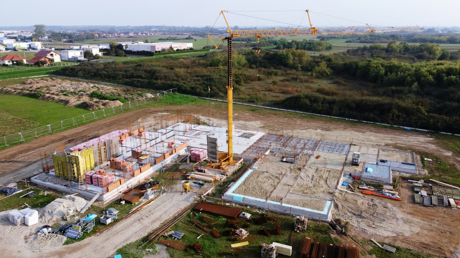
🏗️ CONSTRUCTION SITE MONITORING · RUEIL-MALMAISON (92) · €250–800 LE PASSAGE
Drone construction site monitoring in Rueil-Malmaison
Drone construction monitoring documents progress with a regularity and completeness impossible to achieve from the ground: identical camera angles reproduced at every visit, top-down views of the entire footprint, orthophotos comparable month over month. Project owners, developers and main contractors use it for management (progress records, trade coordination), communication (a spectacular construction timelapse) and pre-litigation purposes (existing conditions, records of neighbouring structures).
The classic formula is a monthly or fortnightly visit for the duration of the project: 20 to 40 photos from the same angles, a flyover video, and optionally a georeferenced orthophoto for overlay on the drawings. At the end of the project, all visits are assembled into a construction timelapse — a communication asset developers value highly for marketing and opening ceremonies.
Free quote — construction site monitoring in Rueil-Malmaison
Rates
€250–800 le passage — the range observed on the 2026 French market, including regulatory preparation, flight and delivery. The exact quote depends on the site, the deliverable and the airspace context in Rueil-Malmaison.
Common use cases
- Monthly progress records for project owners and site meetings
- Construction timelapse of a building or public facility
- Pre-works condition survey of neighbouring structures
- Monthly orthophoto that overlays onto execution drawings
- Earthworks monitoring with cut-and-fill volume calculation
- Marketing communication for a property development
The local context in Rueil-Malmaison
Rueil-Malmaison falls within the Paris conurbation's low-altitude no-fly zone — prefecture authorisation for every mission — with two neighbouring watch-points: Mont Valérien, a prohibited military site to the east, and helicopter traffic along the Seine axis towards La Défense. The riverside urban nature park and the Impressionists' island call for crowd-overflight precautions at weekends.
The town concentrates one of western Paris's largest office parks (Rueil-sur-Seine, oil and pharmaceutical headquarters) — a market of corporate imagery and campus inspections — plus the Château de Malmaison, Josephine's residence and a delicate heritage subject, and upmarket residential property between the hills and the Seine.
Applicable regulations
A construction site is a controlled area: people present (workers, supervisors) can be considered involved persons if briefed about the flight, which simplifies operations. In clear areas, open category A2 or A3 is sufficient; in built-up areas, recurring visits are flown under the STS-01 scenario with prefectural declaration — the advantage being that one declaration can cover recurring flights at the same location for several months. Height under 120 m, coordination with tower cranes (protocol with the crane operator, no flying through load paths), AlphaTango registration and checking nearby aviation zones on Géoportail, as sites near airports are common.
Frequently asked questions
How often should the drone fly over a site?
Monthly is most common: it matches progress-payment cycles. Fast phases (earthworks, lifting, structural work) justify fortnightly or even weekly visits for a dense timelapse.
Can the drone fly while the crane is operating?
Yes, with a protocol agreed with the crane operator: flight zones and slots defined in advance, radio contact during the flight, and never crossing the load path.
Can site photos be used in a dispute?
Yes: dated, geolocated images reproduced from the same angles are excellent factual evidence of progress or condition. For maximum evidentiary weight, they can be appended to a bailiff's official report.
Can this service be flown anywhere in Rueil-Malmaison?
Almost: Zone interdite basse altitude de l'agglomération parisienne; Mont Valérien (emprise militaire) à l'est. Depending on the exact location, the pilot picks the right framework (open or specific category) and files the required declarations — included in the quote.
Other drone services in Rueil-Malmaison
- Aerial photography in Rueil-Malmaison from €300
- Aerial video in Rueil-Malmaison from €500
- Real estate drone services in Rueil-Malmaison from €250
- Weddings & events in Rueil-Malmaison from €400
- Roof inspection in Rueil-Malmaison from €200
- Facade inspection in Rueil-Malmaison from €300
- Aerial thermal imaging in Rueil-Malmaison from €500
- Surveying & photogrammetry in Rueil-Malmaison from €800
- Precision agriculture in Rueil-Malmaison from €8
- Security & surveillance in Rueil-Malmaison from €600
- Immersive FPV video in Rueil-Malmaison from €700
- High-access cleaning in Rueil-Malmaison from €500
- Drone pilot training in Rueil-Malmaison from €350
- All services in Rueil-Malmaison
Construction site monitoring near Rueil-Malmaison
- Construction site monitoring in Paris Île-de-France
- Construction site monitoring in Boulogne-Billancourt Île-de-France
- Construction site monitoring in Saint-Denis Île-de-France
- Construction site monitoring in Montreuil Île-de-France
- Construction site monitoring in Argenteuil Île-de-France
- Construction site monitoring in Nanterre Île-de-France
Construction site monitoring: every city →